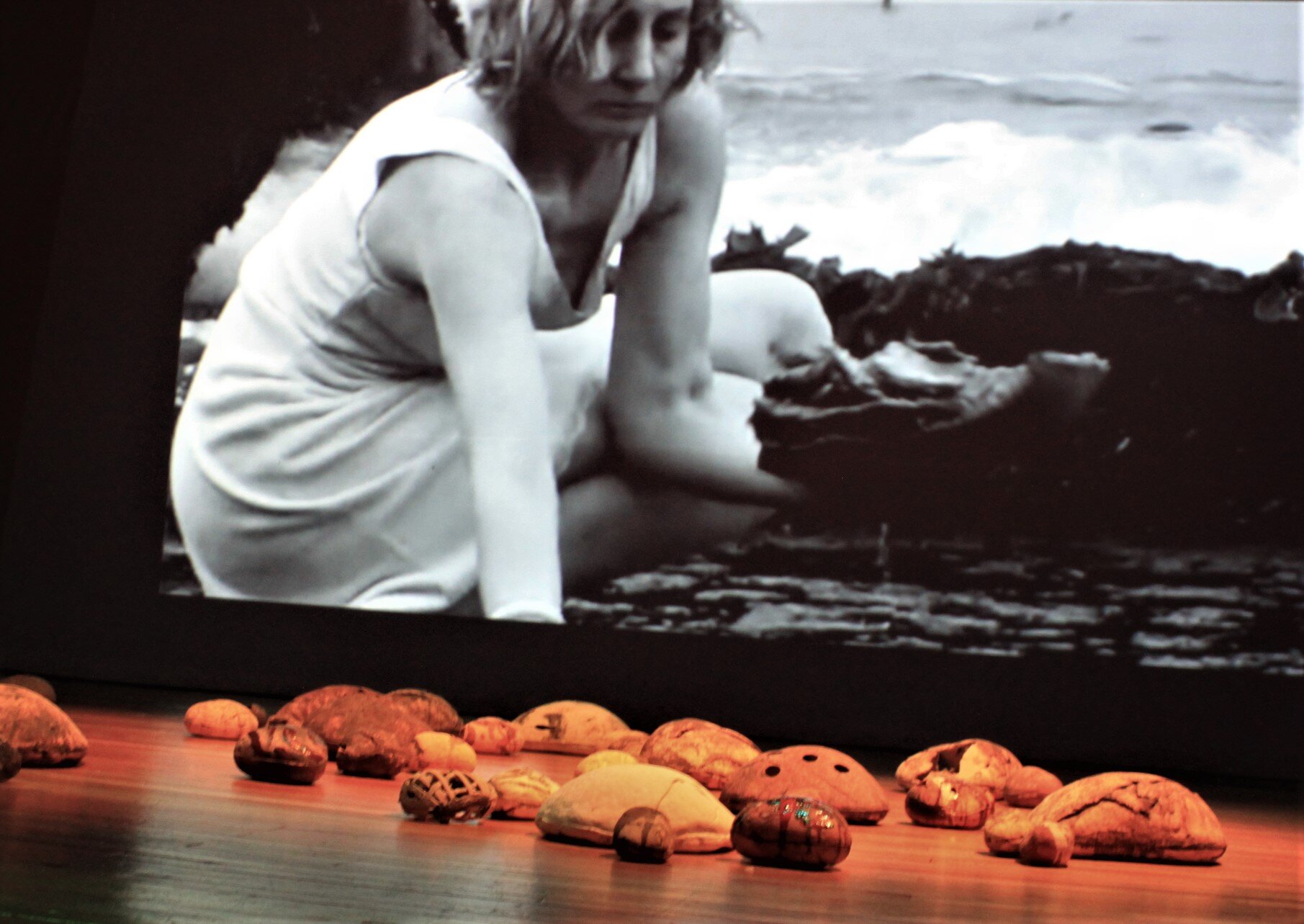
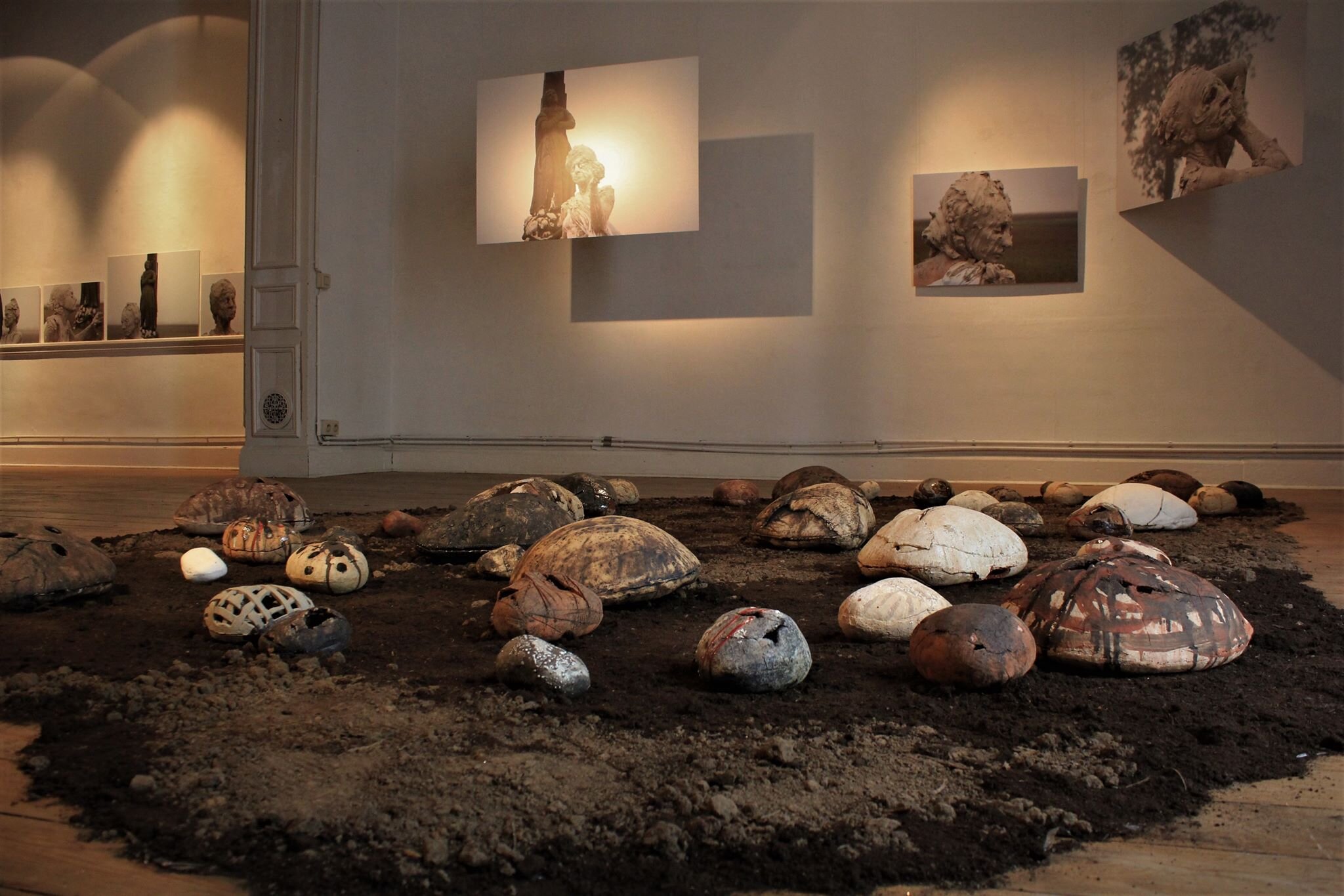
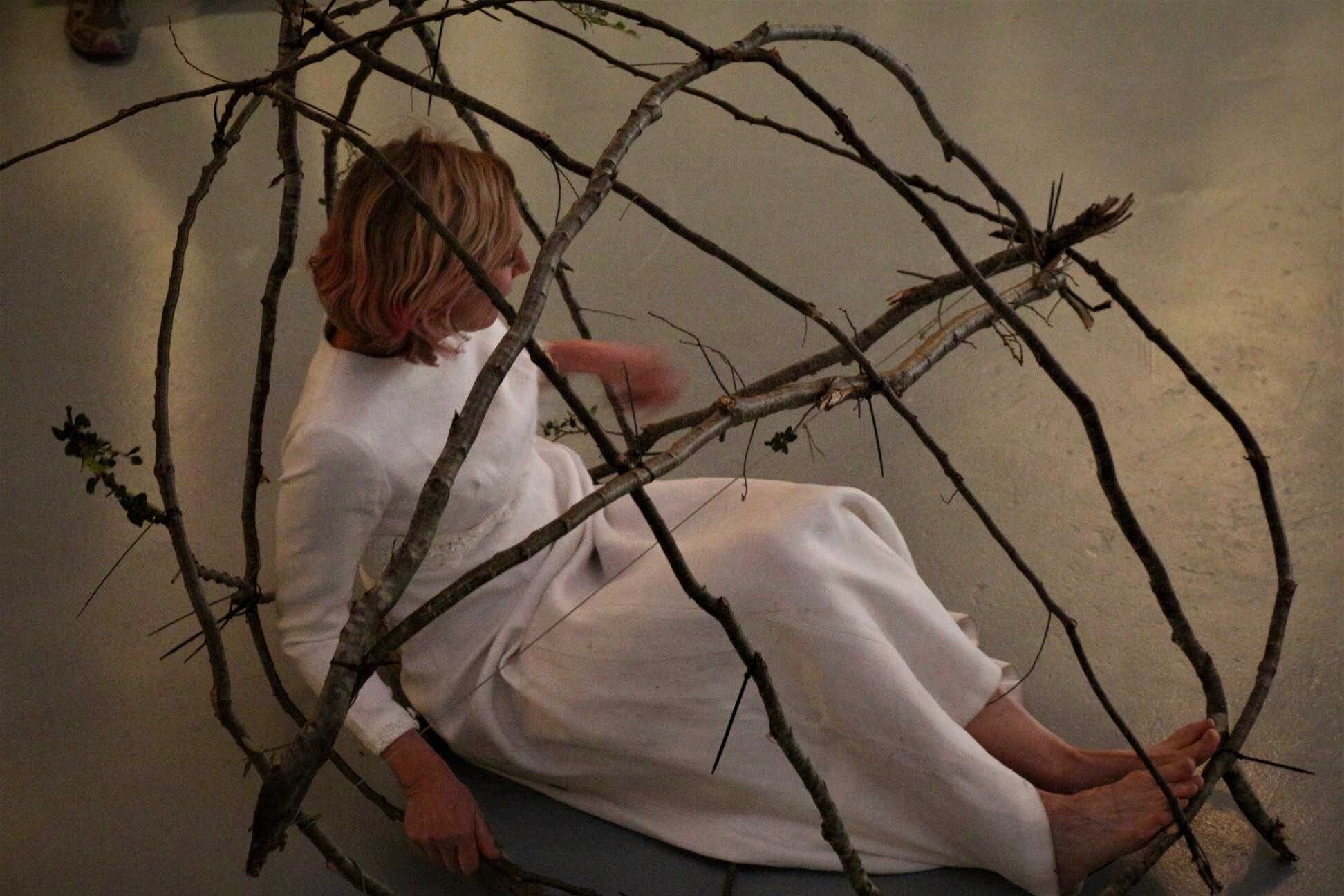
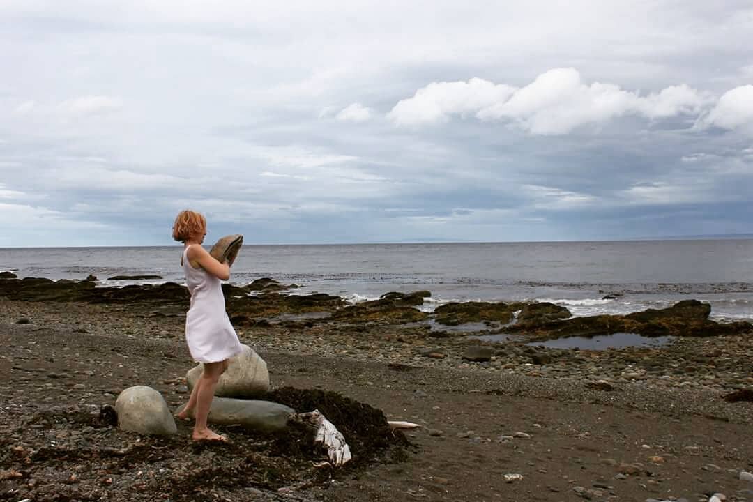
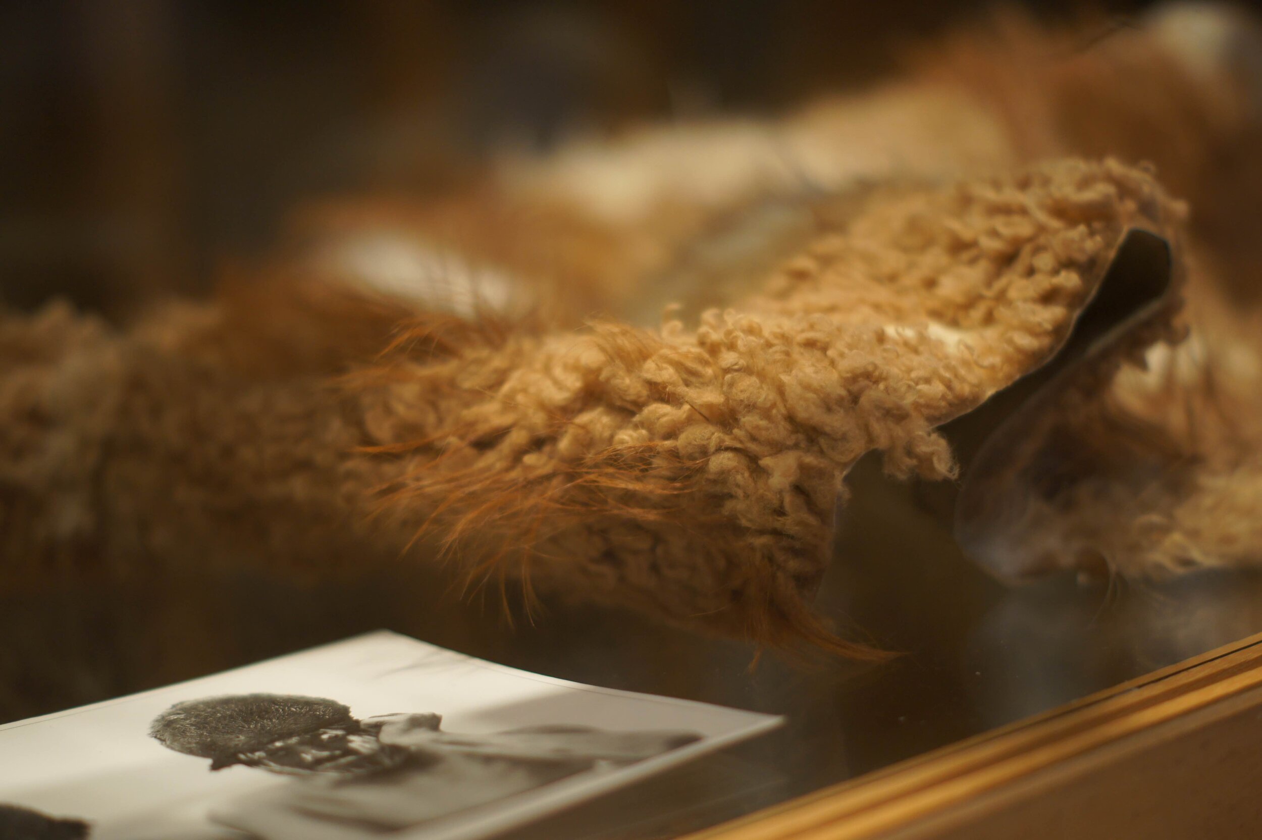
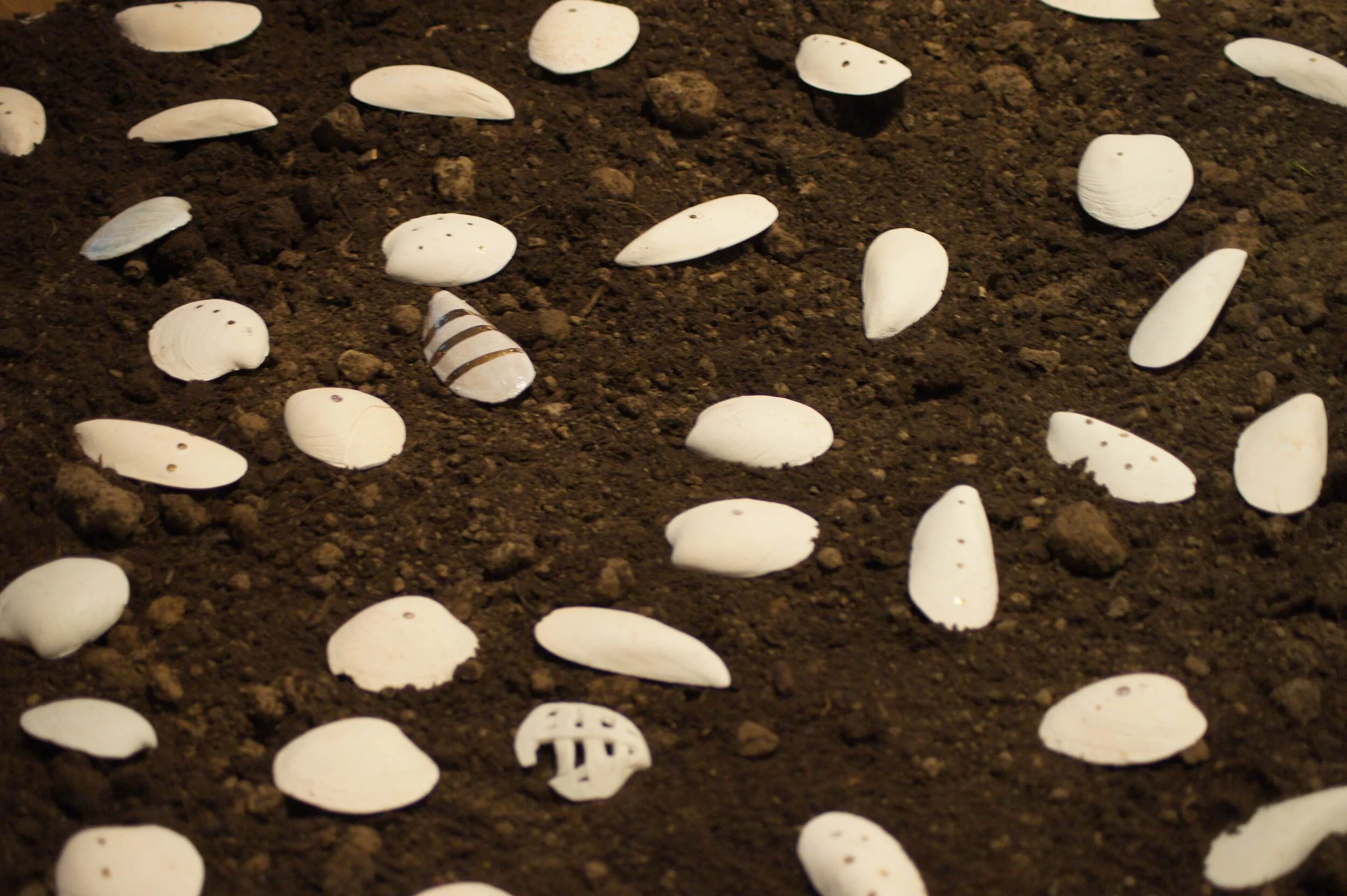
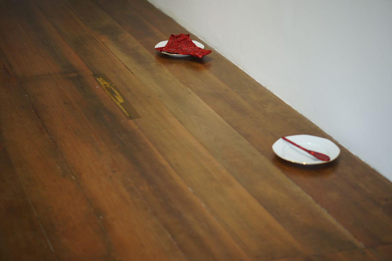
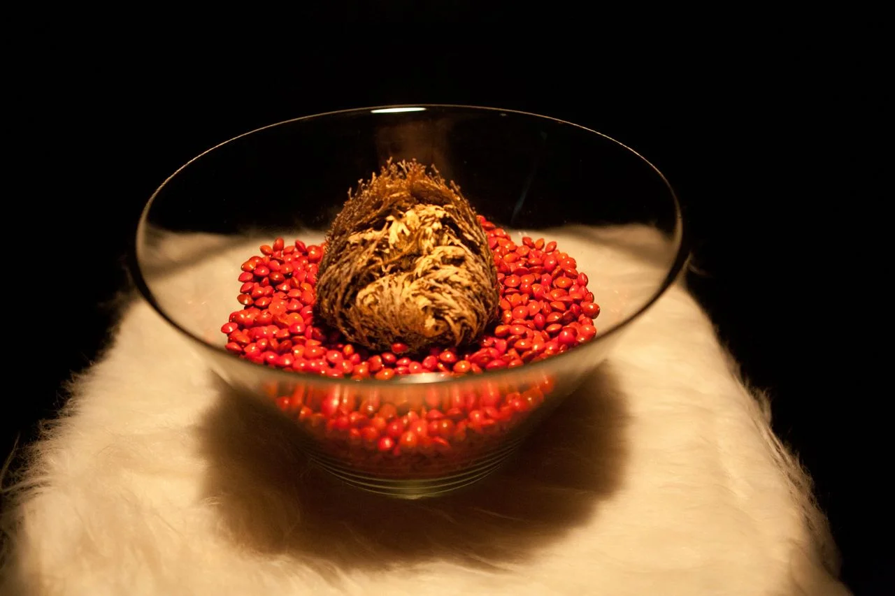
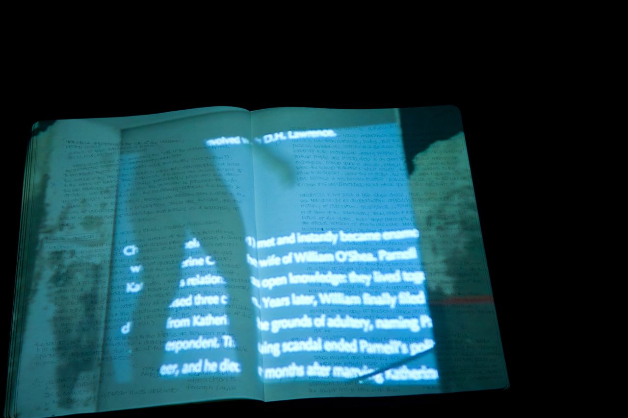
Earth, Fire and Dreams is a contemporary artistic meeting in a frame of history and tradition. The project is the result of a collaboration between the French artist Andrée Weschler and the Chilean artist Javier Canales, who have been devoting themselves for four years to creative research and artistic practice in relation to territory, body, earth and history with clay as the unifying element. It is the material with which they pay hommage to ancestors and contemporaries, from the origins of the Austral Aboriginal peoples to the concept of the "Forgotten". Always in search of new aesthetics, they explore the various possibilities of contemporary expression offered by clay. Javier Canales is inspired by an old tribe that lived in Tierra del Fuego in the extreme south of Patagonia. 6000 years ago, the Selk'nam were close to nature, respectful of the earth, and would have had a lot to teach us. Andrée Weschler pays homage to artists and models who have been forgotten in order to immortalise figures that society venerates. Her work is a tribute to those who have worked on the statues that line the roads in the countryside and mark important places for the protection of passersby.
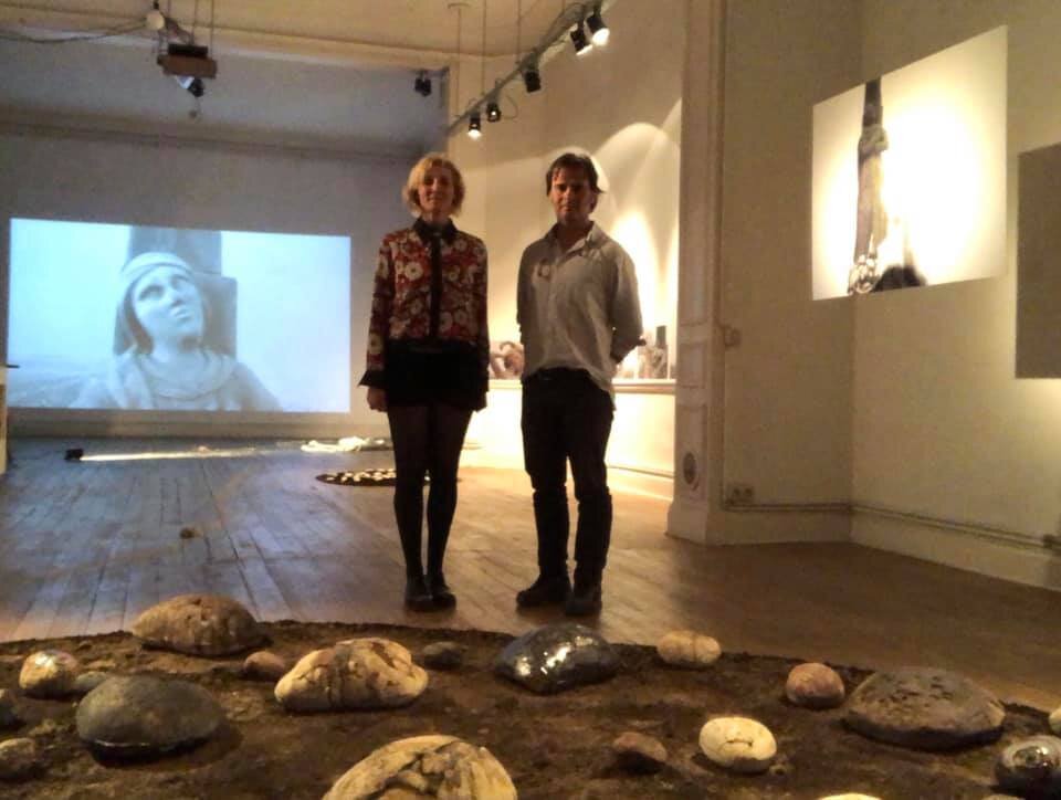
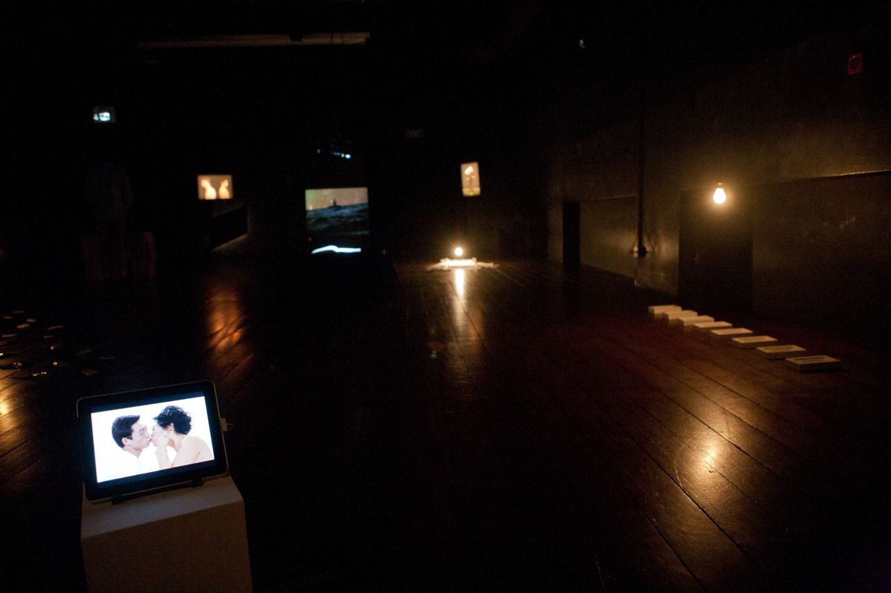
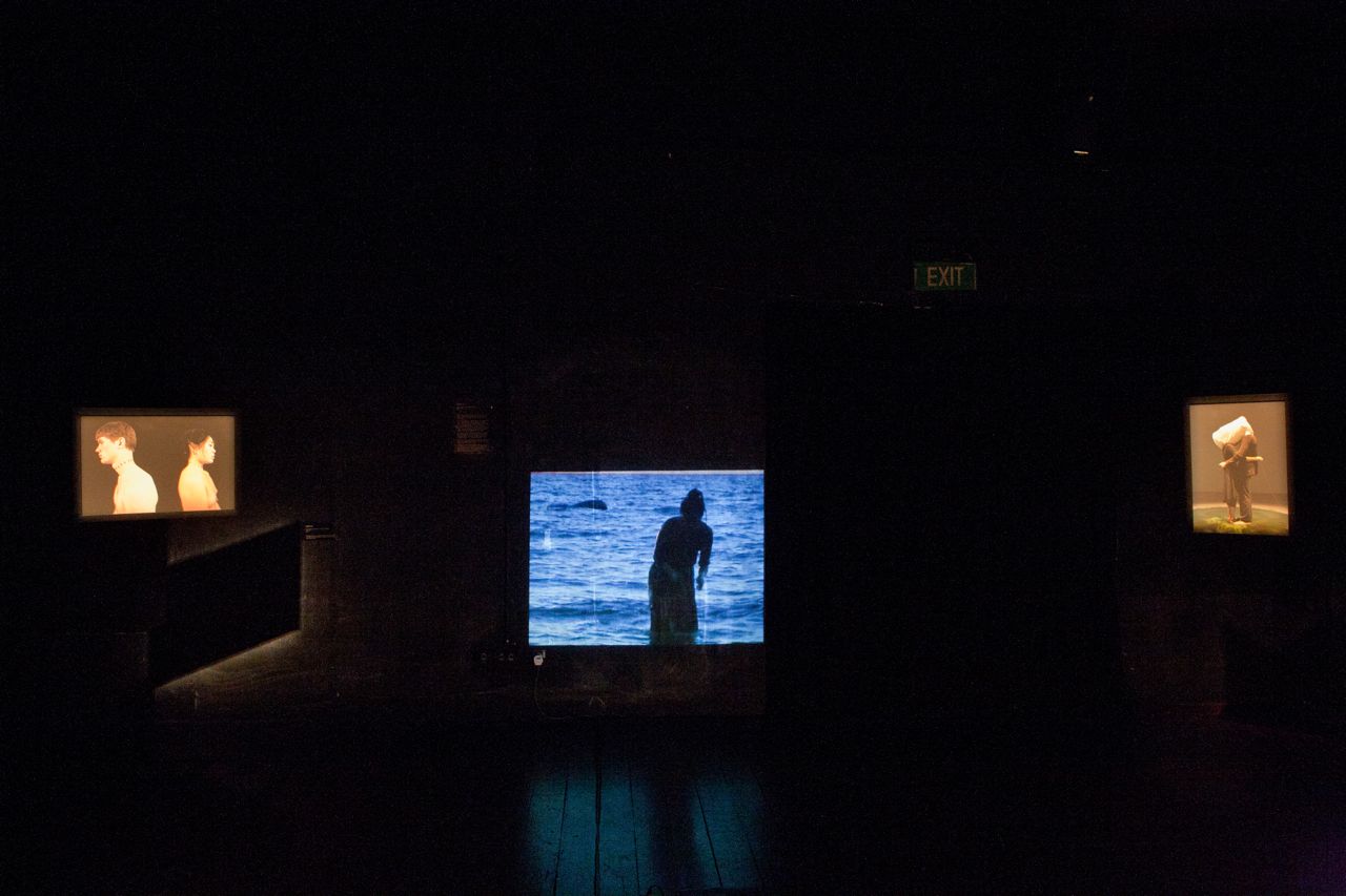
The collaboration of Earth, Fire and Dreams has been exhibited at:
Museo Martin Gusinde in Puerto Williams, Navarino Island, Chile
Ateliers Mommen, Brussels, Belgica
Biennale Arte Dolomiti, Italy
Regional Museo of Magallanes, in Punta Arenas, Chile
Musée de la Poterie de Betschdorf, France
Casa Azul Cultural Center Gallery in Punta Arenas, Chile